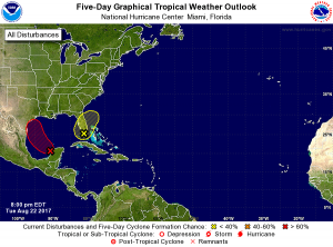
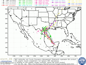
The remnants of Harvey are about to enter the Gulf of Mexico where the area is favorable possible development. The potential intensity and exact path of the storm are still uncertain.
Even if the storm doesn’t redevelop into a tropical cyclone, it can still be expected to be an extreme rain event wherever it makes landfall.
Keep a close eye on the tropics and stay tuned to news media over the next few days. We are already less than 5 days from potential impacts if the storm heads for Southeast Texas.
National Hurricane Center – Current 5 Day Forecast


